IRIS Focus for aviation
Scalable, modern remote sensing software for complete situational awareness at the airport and beyond.
- ANALYZE THE WEATHER FASTER
- TAKE YOUR INSIGHTS HIGHER
- INTEGRATION AND SECURITY
- ONE PLATFORM, MANY DATA SOURCES
ANALYZE THE WEATHER FASTER

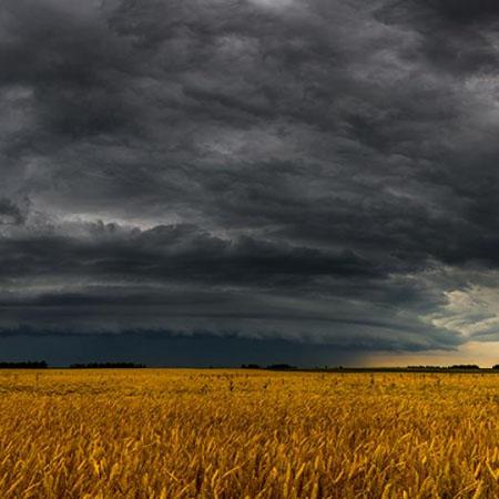
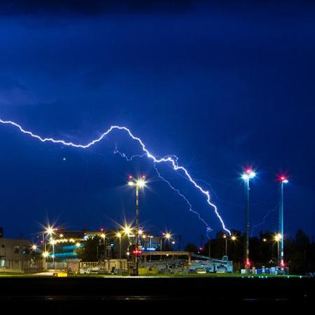
Extreme weather is growing in frequency and intensity with climate change, making it more challenging and more important to understand and anticipate weather hazards. Air traffic controllers, meteorological observers and other airport decision makers need to make fast, well-informed decisions with the ability to quickly analyze detailed weather data and generate real-time weather alerts.
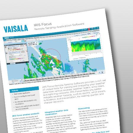
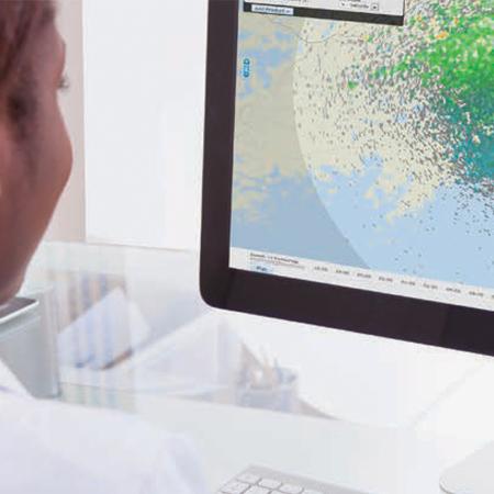
With Vaisala IRIS Focus, you gain a superior understanding of storms, windshear and turbulence for safe and efficient takeoffs and landings. IRIS Focus combines data from remote sensors including weather radar, wind lidar, lightning precision networks and other data sources like satellites to provide an interactive visualization of weather data.
The web-based interface includes storm tracking, nowcasting, and cross-section tools for a better understanding of storm movement and structure. Integrated decision support saves time with real-time monitoring, automated weather hazard detection, and customized alerts for a specified geographical area such as the airport, terminal maneuvering area, and beyond.


Case Study: Improved aviation safety at Palermo Airport
The Punta Raisi Palermo Airport in Italy meets its toughest windshear challenges with comprehensive Vaisala technology.


Ready to get the most from your remote sensors?
Vaisala’s aviation weather and runway management solutions are comprehensive, automated, and scalable to keep airport operations running smoothly no matter what the weather brings. Get in touch with us today and take your remote sensing observations to the highest level.