Join us: Live Xweather Developer Q&A
Love our API? Take some time to learn about its complementary visual tool, Xweather Raster Maps. Raster maps allow users to visualize robust data from both public and proprietary sources and weather station networks. Don't miss this opportunity to submit your questions on our raster maps to the Xweather Developer Team for this live Q&A session.
Webhooks and pushed data
For the most time-sensitive or data-laden operations, webhooks and push data — powered by the very same robust weather API developers and experts know and trust — are the most common solution we recommend. Contact our sales engineers to build the best package for your needs.
What Xweather API endpoints are compatible with webhooks?
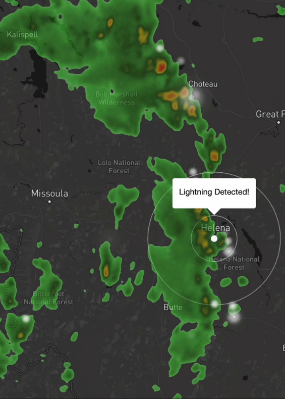
Glad you asked. Just about all our endpoints are compatible — but some of the most common are alerts, earthquakes, fires, lightning, and tropical cyclones.
Get started: Trials + pricing
Access to the Xweather API starts with an Xweather Flex subscription, our convenient weather API and raster mapping bundle. Get the data you need, when you need it, with access to quick-built, high-resolution weather visuals.
Start your free 30-day trial, build your Xweather Flex subscription, or contact us to learn more.